
- 0812-3765-1009
- support@balidronepro.com
- Jl. Merak Dua No.1, Ungasan, Kec. Kuta Sel., Kabupaten Badung, Bali 8036


With Aerial Inspection services, it is probable to communicate data from areas that may pose health or safety risks to laborers. Equinox’s Drones advance an adaptable and scalable resolution to these risks by incorporating revolutionary Drone technology. Our Aerial Inspection services have supported the country’s government and private sectors to maintain assets to their most significant potential. We offer Inspection for Powerline, Wind Turbine Blades, Railway Track, Highway, Buildings & Skyscrapers, Monuments, etc.
With increased Infrastructure building at tremendous speed, it is vital to keep up with its maintenance at an adjacent rate. The construction industry’s adoption of Drone Technology has supported restoring safety, anticipating failure, and maximizing a constructor’s vision to its most desirable state. Aerial Drone Inspection allows data acquisition from hard-to-reach areas quickly, decreases various risks and costs, and reduces the workforce required on-field.

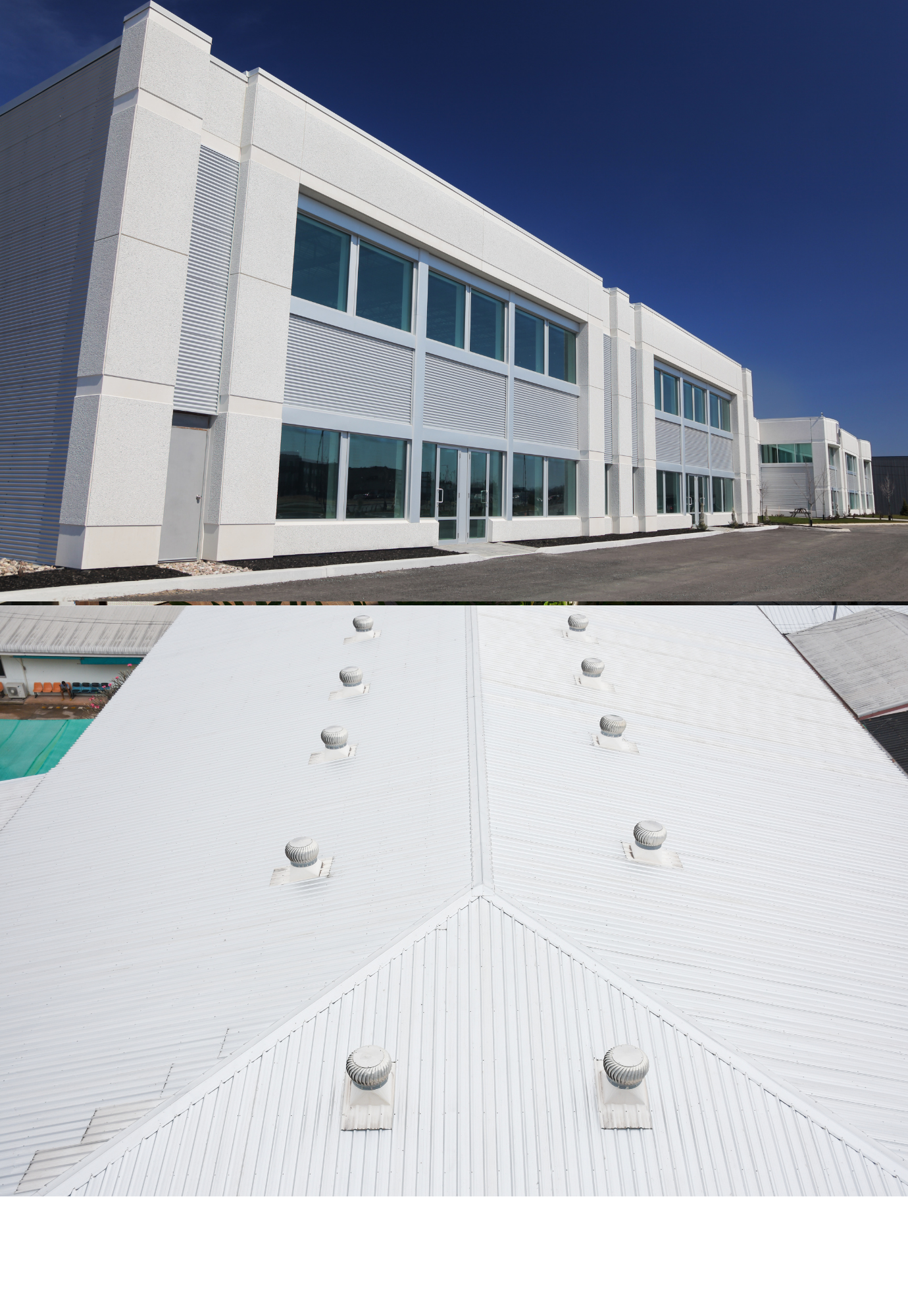
Aerial inspection executed in the presence of an authorized drone pilot who possesses the skills to accomplish the task. Drones furnished with high-resolution sensors such as RGB and Thermal Sensors help detect visual defects and damage in flare stacks, chimneys, pipelines, oil gases and additionally, provide under bridge inspection and Roof Inspection.
In addition to the thermal sensor and RGB image sensor, our drones can produce images with a resolution of 4K.
Drones that we use for surveying are high-end, equipped with high-resolution sensors to ensure superior data quality.
Our highly specialized editing team performs post-processing on Drone videos, highlighting every possible detail of our clients' assets.
We can shoot 4k/1080p quality video, slow motion video, video in full HD and capture 12-megapixel photos.
All over Bali And Java
We use DJI Drones furnished with high-resolution sensors such as RGB and Thermal Sensors help detect visual defects and damage in flare stacks, chimneys, pipelines, oil gases and additionally, provide under bridge inspection and Roof Inspection.
Each battery will last approximately 25 minutes. They recharge quickly and we always bring multiple batteries to each shoot.
There is a built in failsafe. If the battery runs low or connection with the remote is lost, the Phantom 3 Professional uses its GPS and Vision Positioning system and smart flight technology to return back to the pilot. Drone sensors will determine the Phantom location and altitude and lower the legs automatically when landing. Our pilots are responsible operators with experience on a vast array of equipment. Some drone operators will fly and operate the camera at the same time. The Inspire 1 features a dual-operator control. This allows the master controller to pilot the aircraft, while the second controller operates the camera. This enables the pilot to focus solely on maintaining a safe flight and the cameraman to capture the best video and photography possible.
These highly informative drone videos help our clients in decision making about their critical assets, avoiding operation failure, avoiding accidents, improving safety, ensuring structural integrity, maximizing efficiency and production, etc.
Commercial drone usage is fairly new. The government is still establishing policies regarding the usage of drones. The FAA is actively working towards regulating and certifying drone flights for commercial purposes; however, their policies are not yet defined by official law. As long as our pilots keep our drone within what is known as “Class G” or “uncontrolled” airspace, they remain covered. This is under previously existing legislation relating to model aircraft. This will keep us under 400 feet and away from any airports, other aerial activities and regulated airspace. As long as we stay within our designated fly zones and operate our systems safely, we are cleared for takeoff.
The range of the drone is a little more than one mile. If the drone exceeds that distance, it will automatically return to the takeoff location. However, In accordance with the FAA guidelines, we must maintain a visual line of site of the drone at all times. Depending on visibility, this will keep the drone well under that one mile distance.
If we can help your plan your project? Give us a call.

